Meteorologists are watching what could be another storm heading for Vancouver Island, which could also qualify as a "bomb cyclone."
The first storm hit Tuesday evening and lasted through much of Wednesday. It was caused by a weather event also known as "explosive cyclogenesis," when a large air mass rotates around an area that's experienced a sudden air pressure drop.
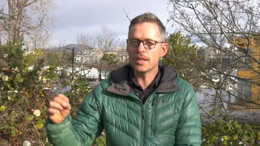
Environment Canada Meteorologist Armel Castellan tells CTV Vancouver Island that Friday could bring another one.
"We're almost calling it double-barreled because it's kind of two opposing low pressure systems, one that's departing our area now going through Haida Gwaii and weakening while another one is looping up from the south west," says Castellan. "That will potential also be technically called a bomb cyclone because it might drop 24 hectopascals in 24 hours.”
Castellan says the cyclone we experienced Tuesday and Wednesday was about as big as we get in this part of the world, but it was 400-kilometres offshore. This next one is expected to be smaller but closer. "It will not be as dramatic as what we saw yesterday but the fact that it's much closer to Vancouver Island could mean that the winds are actually stronger."
Castellan expects it to hit Friday morning and last into Saturday, but with the strongest winds on Friday. He says they're still watching and will decide later what kind of wind or rainfall warnings are needed. The storm could also bring more snow to higher elevations of Vancouver Island.